
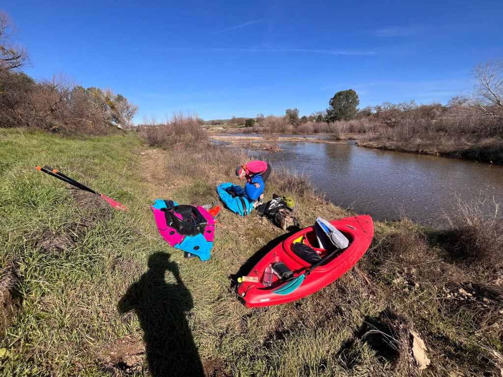
A few months ago, the Central Coast got a decent bit of rain, leading to substantial water flow into the Salinas River. The weekend of the storm, the gang scoped out a put-in on the north side of Atascadero. Water levels were decent (a rare event for a river that is often dry for years at a time), so we made rough plans for a float the following weekend.
Now, I’m not part of the cool kids’ club—read “I don’t have a packraft yet”—but I do have a boat. Is it a shitty, heavy, Lifetime kayak (named the U.S.S. Boat) I found at Homegoods for $200 around six years ago? Maybe, but that’s beside the point. The important part is that it floats. Mostly. (I lost my drain plug, but that’s easily fixed with a Ziploc bag, a nicely shaped rock, and hope.)
What matters is that on January 11th (obviously the best time of the year to do water sports), we loaded into a truck and and headed to North County with no plans other than to try and float all the way from Atascadero to Paso Robles, 10 miles away.
A Brief History of the Salinas River
“The Salinas was only a part-time river. The summer sun drove it underground. It was not a fine river at all, but it was the only one we had and so we boasted about it—how dangerous it was in a wet winter and how dry it was in a dry summer. You can boast about anything if it’s all you have. Maybe the less you have, the more you are required to boast.” – John Steinbeck, East of Eden
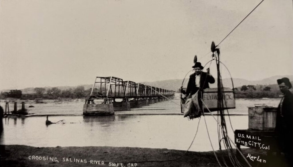
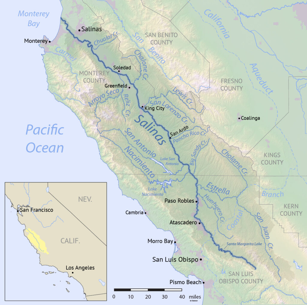
The Salinas River is the longest river on California’s Central Coast, originating in southern San Luis Obispo County and ending at the Pacific Ocean in Monterey Bay. The 175-mile “upside-down river” flows south to north—an anomaly in California—and while the riverbed itself may go dry for months or years at a time, subsurface flows continue year-round, providing the water needed to power the valley known as “America’s Salad Bowl.”
Occasionally, periods of sustained, heavy rainfall reshape the sandy bed into a large, fast-flowing river with deep, boat-worthy channels.
This was not one of those times.
The Trip
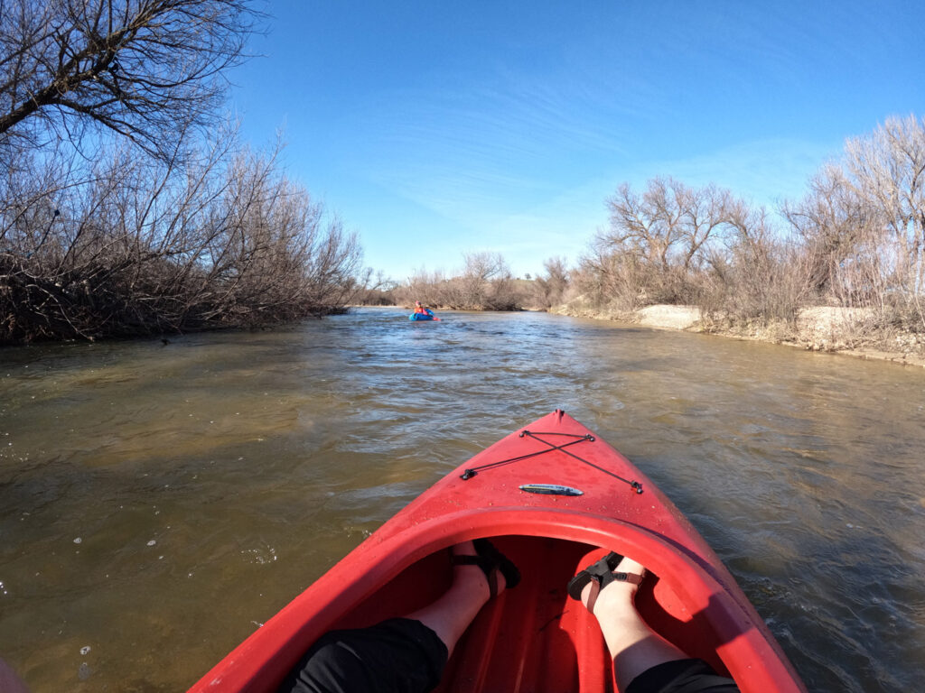
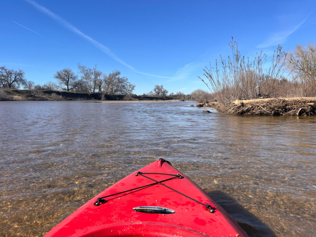
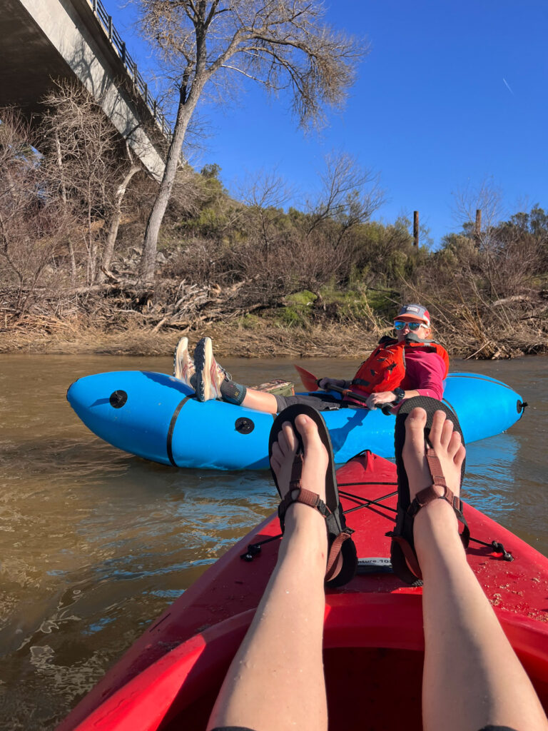
After a significant period of dawdling on the river bank by the Juan Bautista de Anza Historic Trail, we finally set off… and immediately hit an impassable section of low flow. Those of us with packrafts (a.k.a. not me) managed to scrape through slowly, but the U.S.S. Boat was a bit too heavy and required portage. Looking back, this moment should have set my expectations for the rest of the trip. I chose to ignore it instead.
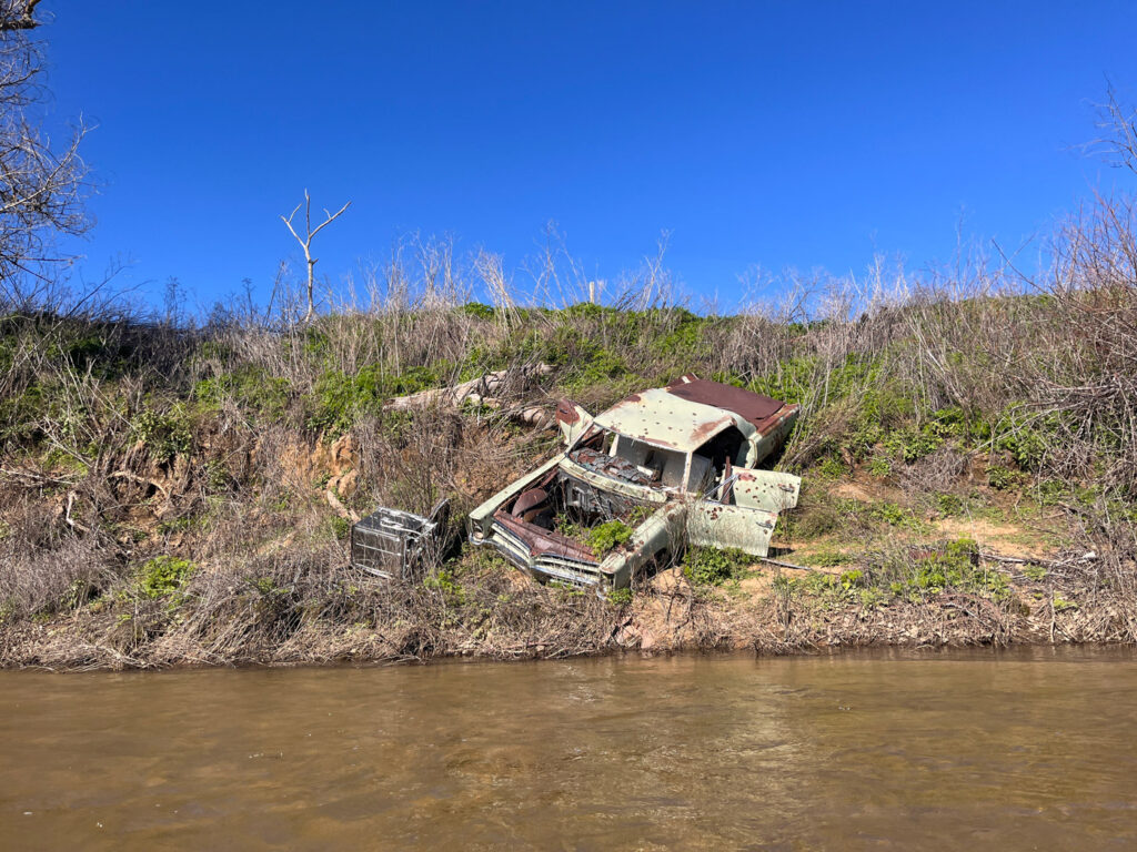
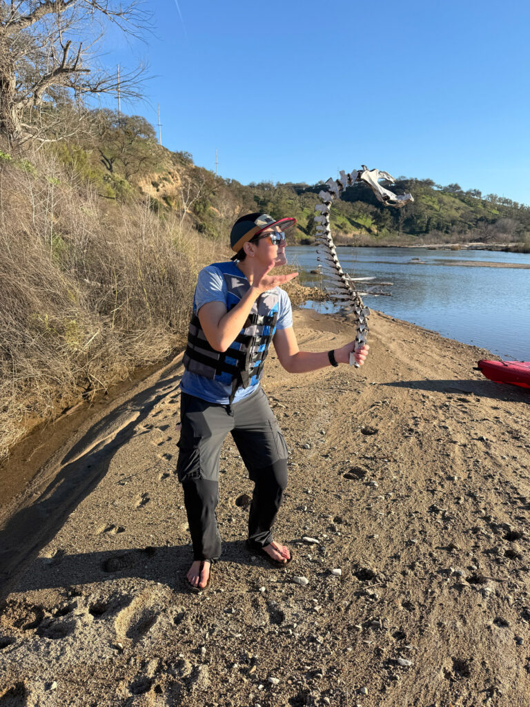
Now, the Salinas isn’t the cleanest river by a long shot. Its banks are filled with trash and abandoned cars, and the water is (presumably) filled with agricultural runoff and other mysterious contaminants. This fact is extra important when you have a propensity for making dumb decisions that lead to sinking your kayak in one of the few sections where the water is actually deep enough to sink something. I’m definitely not speaking from experience here.
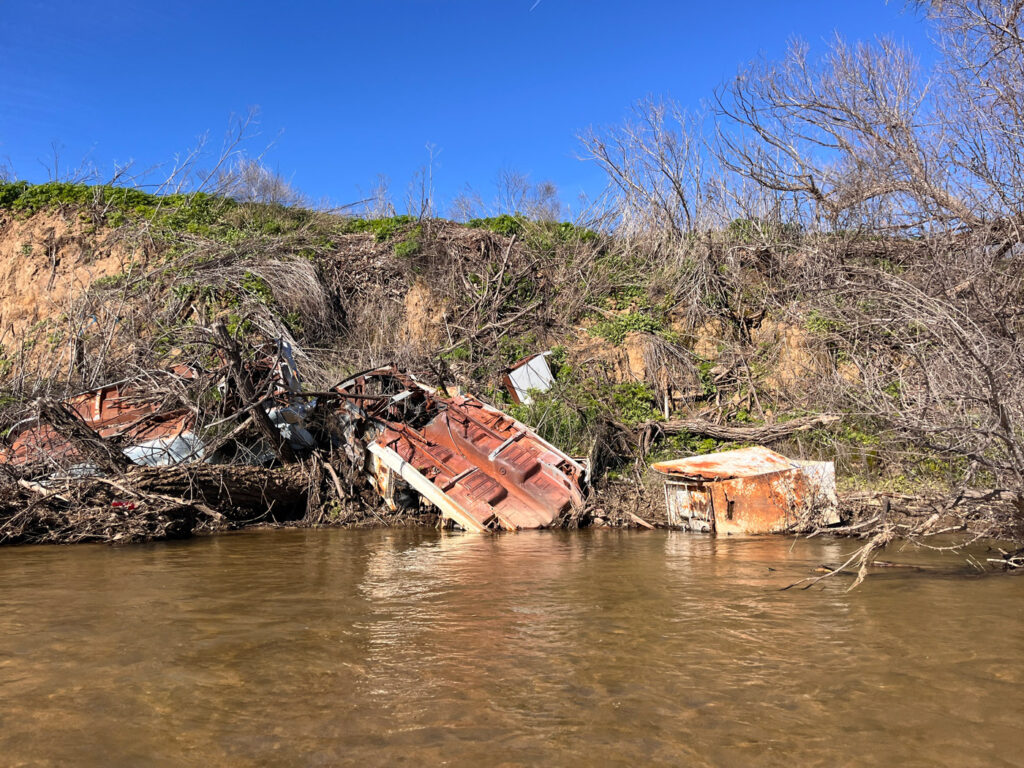
That said, the river more than just trash. Once you leave Atascadero, the Salinas narrows into smaller, wooded sections that look nothing like the scenery just a mile south. A thick maze of trees lines the river’s edge, funneling you past shaded banks and grassy outcrops. It’s almost enough to make you forget where you are… that is, until you float by the 32nd used car tire of the day.
Aside from the heavy concentration of car tires, navigating the river gives you a truly unique view of the natural landscape. Weaving through the trees, you experience the Salinas Valley as you’ve never seen it before, taking a peek into what the area was like before the development of farms, cities, and highways. It’s a magical experience.
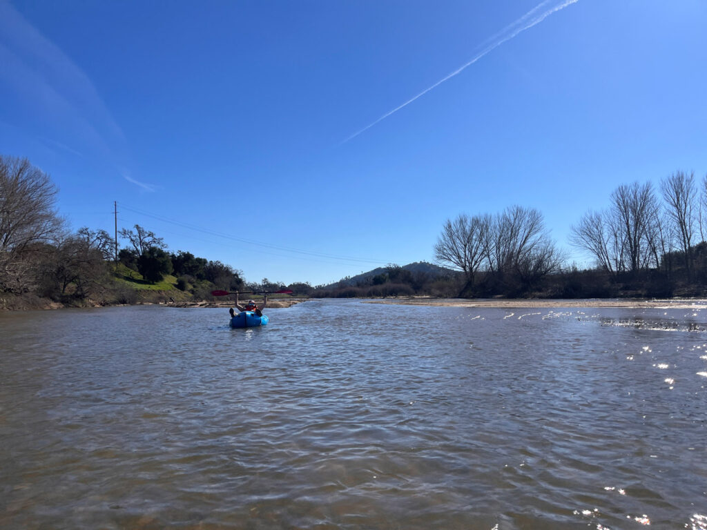
After 8 miles of floating / dragging our boats north, the sun began to fade and the temperature began to drop… a lot. We were extremely prepared for this—in fact, we had strapped a few additional pieces of clothing to the top of the U.S.S. Boat. Unfortunately, all of that clothing was soaked thanks to my little boat flipping incident a few miles back.
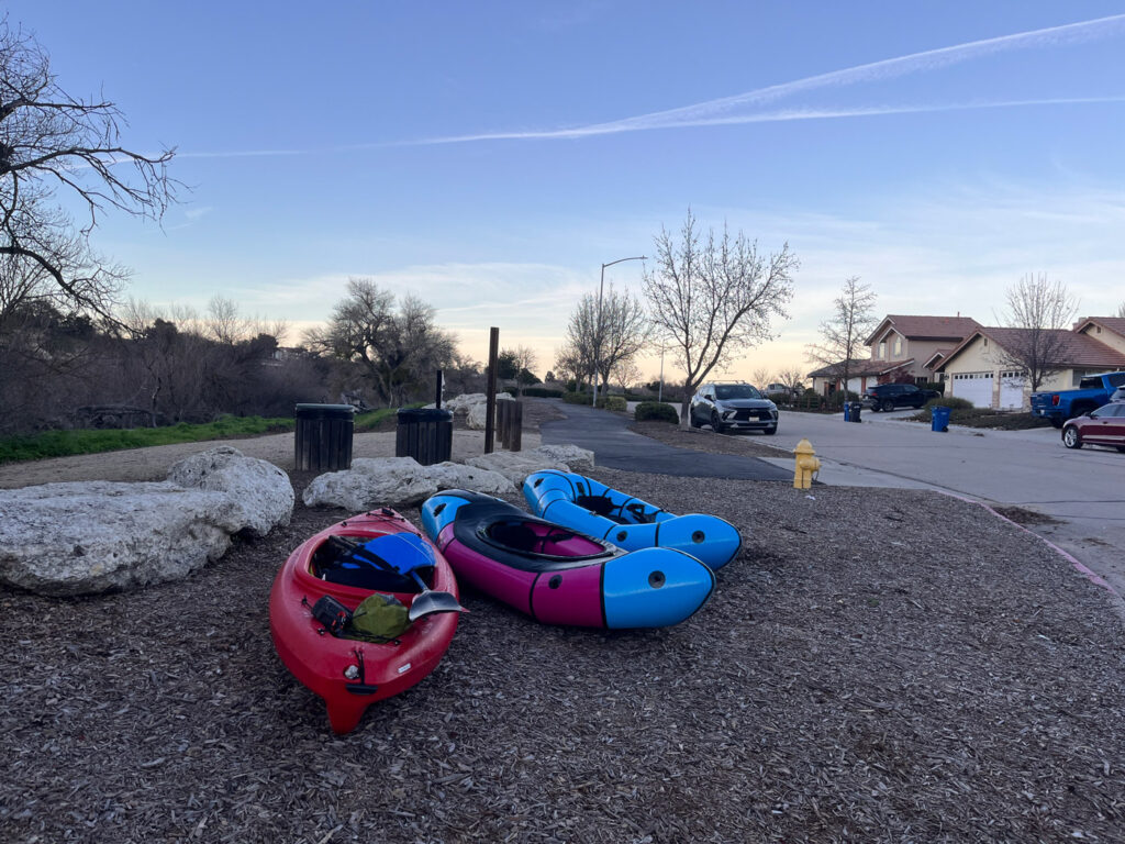
Shivering, we slowly paddled (read “scraped”) our way into Paso Robles, dragging our cold, wet bodies into the sunset and making it to the car just in time to see the final rays of sunshine disappear behind the hillside.
And you know what? I would do it all over again in a heartbeat.
5 Important Takeaways:
- The Salinas River is sometimes floatable between Atascadero and Paso Robles, but expect significant portage unless the flow rate is very high.
- There is an accessible take-out point in Paso Robles which is not listed on salinasriver.org (which, by the way, is an incredibly useful website for trip planning).
- Yelling “send it” before attempting a bumpy section of water does not guarantee that you will, in fact, send it.
- The river is exactly as dirty as you’d expect, and you definitely shouldn’t fall into it unless you want to deal with a few weeks of contact dermatitis.
- If you do choose to send it, make sure someone is filming your stupid decisions. Hopefully, the future laughs will be worth the full-body rash.
Leave a Reply